File:blue-marble-posterized.png: Difference between revisions
| Line 3: | Line 3: | ||
Suggested usage: for superimposing other data in black and/or white. | Suggested usage: for superimposing other data in black and/or white. | ||
Map projection: equirectangular (geographic) | |||
How it was made: | How it was made: | ||
Revision as of 03:58, 7 August 2022
Summary
Simplified version of NASA's Blue Marble. Yellow areas are generally deserts or harsh mountainous regions.
Suggested usage: for superimposing other data in black and/or white.
Map projection: equirectangular (geographic)
How it was made:
- Opened the primary-Blue_Marble_2002.png in mtPaint (an open-source image editor)
- Applied gamma=150% to blue and green channels (but not red channel)
- Applied maximum color saturation, repeatedly
- Posterized the image, on the most extreme setting
- Replaced red spots with yellow
- Flood-filled antarctica to white
File history
Click on a date/time to view the file as it appeared at that time.
| Date/Time | Thumbnail | Dimensions | User | Comment | |
|---|---|---|---|---|---|
| current | 03:28, 7 August 2022 | 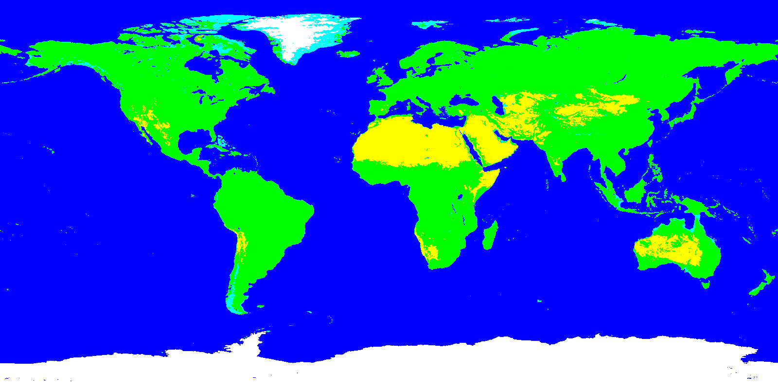 | 1,600 × 800 (30 KB) | Elie (talk | contribs) |
You cannot overwrite this file.
File usage
The following page uses this file:
- File:Blue-marble-posterized.png (file redirect)